Cultivating Excellence with
Crop Planet
Revolutionizing Agriculture with Precision Mapping
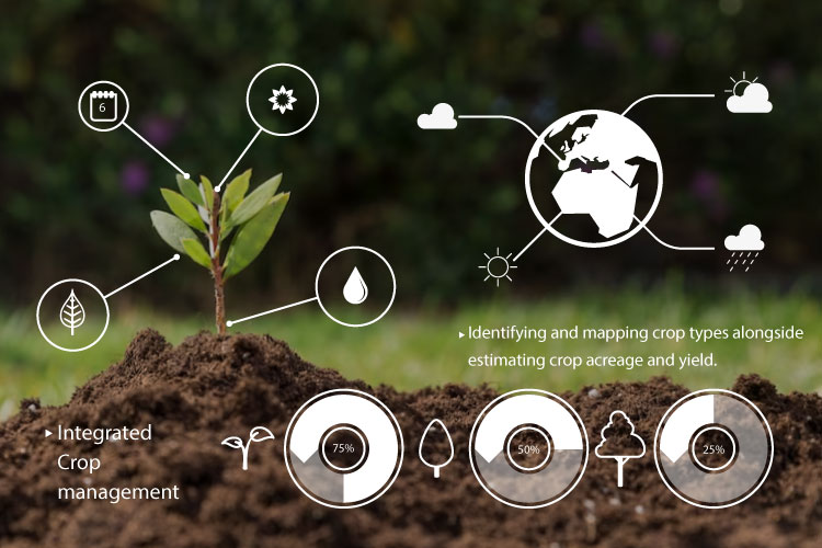
We embark on a groundbreaking journey with Crop PlanetTM, an innovative agri-data solution reshaping the landscape of farming insights. Our platform introduces a pioneering live crop map, a first-of-its-kind at the village level in India. Unlike traditional estimates, our high-resolution geo-location approach provides unparalleled visibility into current cropping seasons, covering major crops like paddy, soybean, maize, sugarcane, and wheat.

This comprehensive crop map transcends mere visualization. It becomes actionable through the lens of Crop PlanetTM.
Village boundaries, farm sizes, crop health, weather forecasts, yield estimates, and land ownership seamlessly overlay on the map.
The result is a dynamic tool enabling precise acreage estimation, sharper identification of agrarian distress, and data-driven decision-making for resource deployment, risk mitigation, and procurement.
Crop PlanetTM — where precision meets agriculture for a sustainable future.


