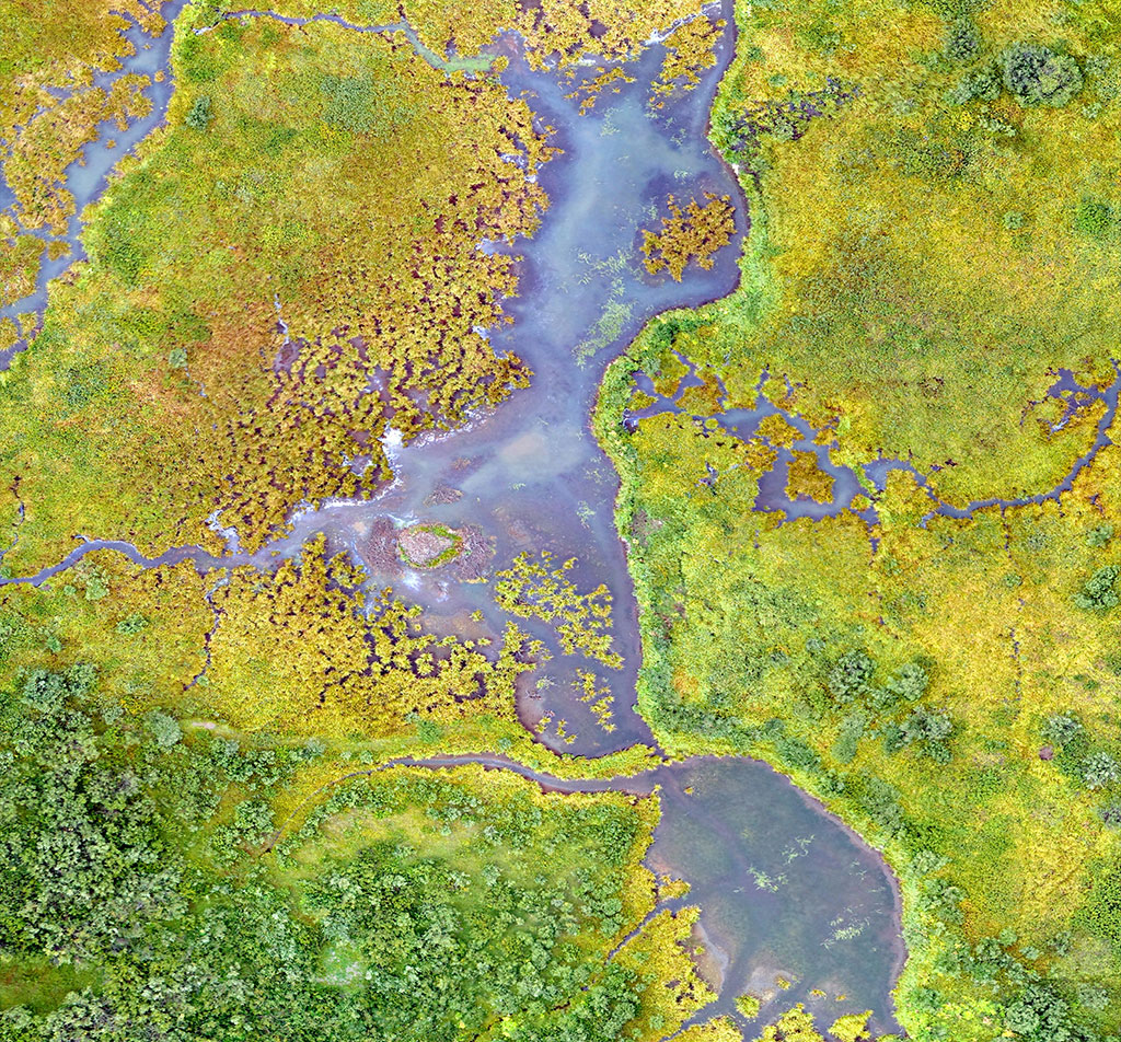
Where Aerial View Meets Smart Decisions
Remote Sensing Services
The sensor-based technology (both active and passive) plays pivotal role in data acquisition in real time mode which enables and expedite both planning, execution and decision-making process. We use advanced satellite imagery and aerial data to provide in-depth analysis and solutions for a wide range of industries and sector specific requirements. Our image processing, interpretation analysis and image engineering expertise enables us to extract spatial information into actionable intelligence, helping clients make informed decisions about topography, land use, environmental context and resource management. By using advanced technology and mathematical and statistical algorithms, we are therefore able to provide accurate location specific data and its visualization, empowering businesses to optimize their operations and promote sustainable growth.

Remote Sensing and Photogrammetry
We provide high-definition satellite imagery and aerial photographs based detailed topographic mapping, land-use & land cover (LU/LC) classification and change detection analysis in time series scale. With our knowledge of digital photogrammetry, 3D mapping, digital surface (DTM/DEM), different indices (NDVI etc) using different satellite bands such as thermal, microwave, SAR etc. We can generate and interpret accurate 3D models and terrain analysis which can be considered and adopted in making a crucial decision in planning for urban areas, land management, monitoring and evaluation of the environment and natural resource management including agriculture. Thus, by incorporating advanced GIS tools and our remote sensing capabilities, we offer accurate information as well as insights precisely designed to meet the requirement in identified sectors.

Drone & LiDAR Technology
We provide Drone & LiDAR services that helps to improve the capabilities of image interpretation by providing high-resolution point-cloud data with the help of multi spectral, hyper spectral and other active sensors including panoramic photography. Drone technology is used to carry out efficient aerial surveys that capture high-resolution images up to 3/5 cm GSD. Therefore, combined with LiDAR, we create accurate 3D models, topographic maps and engineering accuracy level mapping with detailed analysis regarding vegetation, terrain mapping, landscape and topographic perspectives. We offer raster-based change detection analysis using both Drone and Remote Sensing sourced high resolution satellite imageries.

Image Interpretation and Analysis
We specialize in radiometric and atmospheric correction, orthorectification and advanced classification techniques (unsupervised & supervised classification) based on fuzzy logic and neural networks backed by signature matrix, ground truth data and field validation parameters. By leveraging multispectral and hyperspectral data characteristic including other available satellite data sources, we conduct detailed indices level analysis, time series change detection, raster & grid-based analysis and providing clients with actionable insights for planning, intervention and management purpose. Our expertise ensures precise geospatial interpretation and informed decision-making.

IoT & Model Simulation
We offer frameworks based on mathematical & statistical algorithms and model simulation techniques to analyse geospatial data for the creation of analytical models that emulate events in the environment and predict the future scenario. Using high-resolution multispectral & multi temporal sensor-based satellite data and real time inputs obtained from IoT devices which cartelize to simulate and analyse changes in land use, climate & weather effects and other requisite parameters towards resource planning and management. IoT solutions gather and monitor near real-time data, including sensor networks that we deploy for applications in environmental management, agriculture monitoring & health assessment, infrastructure assessment and other associated aspects.

Predictive Analytics
By integrating location intelligence, spatial data analysis with robust predictive frameworks based on AI & ML framework, blockchain & deep learning, we provide information and enterprise level platform to decision-makers, to further enhance planning and management in the very diverse areas of environment, agriculture and urban development. We have of the self (OTS) custom platforms such as Crop Planet and EnviroIMX to support industry specific predictive analytics requirement with custom modules and MIS reports. Our offerings include to organize, structure and gather historical database both in structured & unstructured format to support and develop pattern inside, relationship and outliers as a feed to the predictive analytics framework.


