Discover what’s possible with
geospatial technology
Geospatial Services
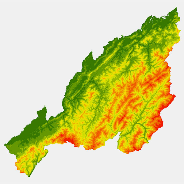
Our geospatial services include comprehensive spatial data acquisition using remote sensing, sensor-based technology, location intelligence, field gadgets and from existing archive databases, which enable us to create value added quality spatial datasets. We use advanced techniques & methods for data preparation, geo referencing and data normalization based on data model and meta data structure to ensure accuracy and relevance. We offer spatial mapping, 3D modeling, terrain analysis and predictive analytics to support diverse applications, from resource conservation, management and transformation to support sectoral and industry needs.

Survey and Field Data Collection
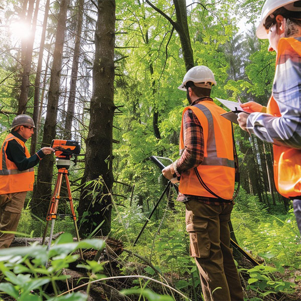
We undertake and offer survey-based field data collection (both primary and secondary) using geospatial technology such as CORS network, DGPS, ETS, UAVs, Drone and LiDAR including ground truthing & validation. Our team of experts carry out on-site assessments to collect field data, attributes, and location intelligence with time stamped photographs using mobile applications & digital gadgets. Our comprehensive data processing and GIS analysis converts raw data into actionable insights and helps clients to make informed decisions to optimize project planning and execution.

Mapping and Spatial Data Development
We specialize in mapping and spatial data development based on requirements using modern geospatial technology. We follow structured data development lifecycle backed by quality assurance framework based on data sheets which comprises of data layers specifications, data model, meta data structure and quality control measure. Our experienced team produces and analyses specially designed spatial datasets that cater to every client's unique needs related to data collection, integration and interpretation. The outputs comprise of thematic layers with visual representation & map layouts with statistics that enables to take informed decisions.

Enterprise Database Development
We offer the design and implementation of scalable and robust geospatial databases with data integrity checks and high-performance optimization through programmatically corrected datasets which are compatible to relational database management structure (RDBMS) of standard licensed enterprise database and open-source database. Our team is able to build and facilitate designs for data modelling, normalization, and indexing, adopts best practices in improving query performance and supporting high-volume transactions. By linking geospatial database to enterprise applications such as enterprise web framework, SaaS framework through integration of APIs and ETL processes.

Data Analytics
Our offerings comprise of advanced location intelligence-based analytics involving statistical analysis, geostatistical modelling, logical compound query analysis to extract actionable insights from structured value-added geospatial database. We offer technology to identify the patterns and trends in data and perform comprehensive spatial analysis to reveal correlations, anomalies and out layers. We use interactive mapping tools with visual impacts on a dashboard to deliver results of analysis through structured report and MIS format directly to the end user.


